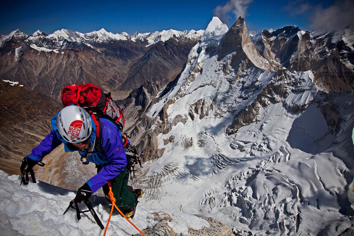
Hiking routes on Mount Kenya: Mount Kenya is one of the extinct volcanoes that dominates the landscape of Kenya lying within Mount Kenya National Park. The mountain has three peaks with two main peaks covered with snow namely Batian which is 5199 meters and Nelion which is 5188 meters above sea level the third peak is Point Lenana stands at an elevation of 4895 meters above sea level.
Mount Kenya is encompassed by several vegetation zones from the base to the peak. The lower slopes are covered by different types of forest. Many alpine species are endemic to Mount Kenya, such as the giant lobelias and senecios and a local subspecies of rocky hyrax. The mountain area covers an area of about an area of 715 square kilometers around the center of the mountain and was designated a national park and listed as a UNESCO World Heritage Site in 1997. Visitors while on hiking safaris have a wide range of trails to follow such as Meru, Chogoria, Kamweti, Naro Moru, Burguret, Sirimon, and Timau Routes. Of these Chogoria, Naro Moru and Sirimon and used most frequently and therefore have staffed gates. The other routes require special permission from the Kenya Wildlife Service to use
Sirimon Route
The Sirimon Route starts 15 kilometers east of Nanyuki along the Mount Kenya Ring Road. The gate is 10 kilometers further along, where visitors can walk or drive by four-wheel drive. The track climbs up through the forest. On the northern side of the mountain, there is no bamboo zone, so the forest gradually turns into moorland covered with giant heather. The track ends at Old Moses Camp and becomes a path. The camps give you an opportunity to recharge as you continue to hike and this route needs a minimum of 2 to 3 days. This continues up the hill before splitting into two routes. To the left, the least used path goes around the side of the Barrow, to Likii North Hut. The vegetation becomes sparser, with giant lobelia and groundsels dotted around. The path climbs over a ridge, before rejoining the main path ascending the Mackinder Valley. Shipton’s Cave can be found in the rock wall to the left of the steep path just before reaching Shipton’s Camp.
As you ascend, you’ll notice a change in vegetation, with giant lobelia and groundsels dotting the landscape. The path splits into two routes: one leads to Likii North Hut, while the other continues up to Shipton’s Camp. From Shipton’s Camp, you can either climb directly to Kami Hut or follow the river to Lower Simba Tarn and eventually reach Simba Col.
Meru Route
The Meru Route is a scenic route that leads from Katheri to Lake Rotundu, following the Kathita Munyi River. Although it doesn’t lead to the main peaks, it offers stunning views of the alpine moorland on the slopes of the mountain.
Burget route
This is one of the best routes for visitors who want to feel alone on the mountain. This is one of the challenging routes and it’s less used therefore during hiking you will pass through the tropical rainforest which is sometimes muddy. When you use this route, you will spend your night in a wilderness hut and this trail takes a minimum of 3 nights. When descending it’s ideal to use a different trail.
Chogoria Route
The Chogoria Route is one of the most popular routes to the main peaks. It begins in Chogoria town and winds its way up to the peaks circuit. The route passes through a variety of landscapes, including forests, bamboo zones, and alpine moorland. Along the way, you’ll have the chance to see wildlife such as elephants, buffalo, and leopards. Chogoria route also offers visitors spectacular scenery, waterfall views, and views of the gorge among others and when descending it takes around 3 days.
Kamweti Route
The Kamweti Route is the longest route to the main peaks and follows the Nyamindi West River. Although it’s a restricted route, it’s still used occasionally by adventurous trekkers.
Naro Moru Route
The Naro Moru Route is a popular route to Point Lenana and can be completed in just three days. The terrain is generally good, with one exception: the infamous Vertical Bog. The route starts in Naro Moru town and winds its way up to Mackinder’s Camp on the Peak Circuit Path.
Gathiuru Route
The Gathiuru Route starts in Gathiuru and follows the North Burguret River up to Hut Tarn on the Peak Circuit Path. This route is the shortest way to reach Peak Lenana. The route is managed by the Gathiuru Community Forest Association, which was formed by local residents to conserve natural resources and make a living.
The locals in the area have faced challenges due to human-wildlife conflict. However, they have come together to protect their natural resources, including the mountains and wildlife. To access the route, tourists need to pass through Mt Kenya Royal Cottages, which offers payment and facilitation services. The lodge is located opposite the Nanyuki airstrip and has partnered with the association to promote the route and benefit the community.
The Gathiuru Route boasts an impressive array of flora and fauna, with stunning scenery throughout. It’s a great opportunity for tourists to experience the natural beauty of Mount Kenya.
Timau Route
The Timau Route is an older trail that is no longer used a lot these days because there are no facilities where hikers can stay along the way. The route is a restricted route that starts very close to the Sirimon Route. It skirts around the edge of the forest for a considerable distance before reaching Halls Tarns and eventually joining the Chogoria Route.
Peak Circuit Path
The Peak Circuit Path is a challenging path that circumnavigates the main peaks of Mount Kenya. It’s about 10 km long and gains over 2,000 meters in height. While it can be completed in one day, most trekkers take two or three days to complete it.
However, there are other routes for hikers who want to hike beyond Point Lenana and they include the South Ridge route which continues to Nelion which is the next highest peak after Point Lenana. This route requires experienced hikers and it takes around 8 hours to hike to the summit and 3 hours to descent therefore it takes about 2 days. Another route is the north face route which goes to Batian, this route is more challenging and is recommended for advanced hikers who will take around 12 hours to ascend to the summit and 5 hours to descend the next day.